Helen is an independent designer, mapmaker & visualisation trainer. She makes tube-style walking and cycling maps and runs trainings in infographic and data visualisation.
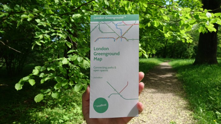
Tube style walking maps connecting parks & open spaces
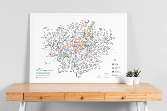
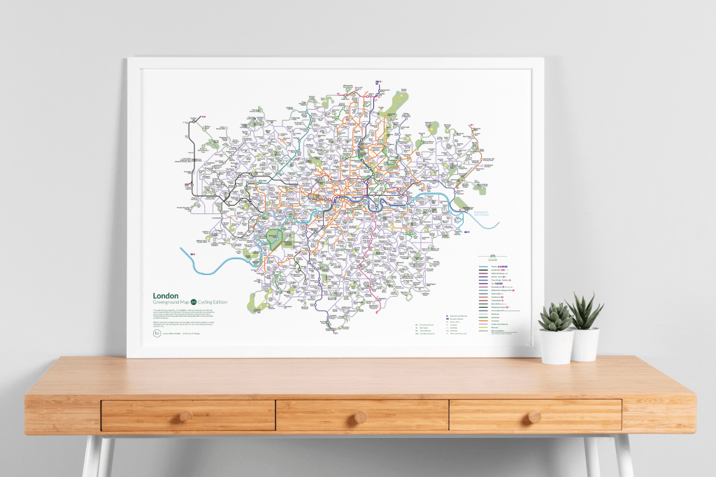
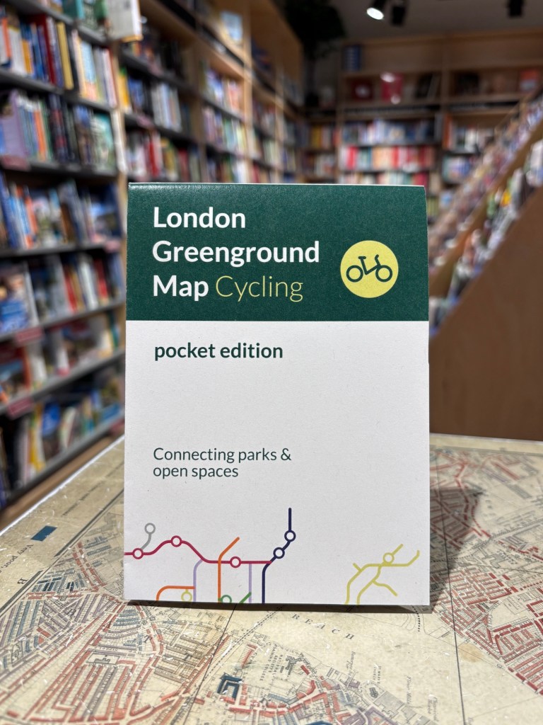
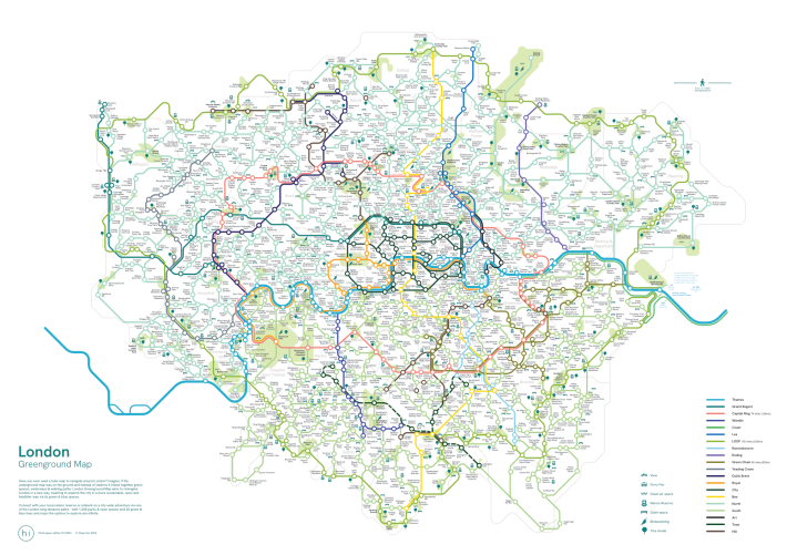
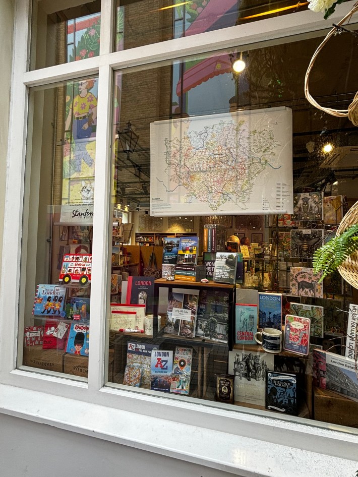
The Greenground Map project reimagines cities through green and blue infrastructure by creating macro-scale walking maps that encourage walking and cycling along parks, rivers, and canals. Launched in spring 2019 by graphic designer Helen Ilus, the project began with a tube-style map connecting urban green spaces and quickly gained public support through collaborative input. Since then, Helen has produced both independent and commissioned maps in partnership with charities and councils, reaching over 100,000 viewers and earning positive feedback from the public and specialists. The maps have been widely featured in the media and are currently sold at Stanfords Map and Travel Bookshop in London.
£24.99
£7.99

£24.99
£24.99
£10.00
Endorsements
Helen Ilus put a new twist on London mapping with her delightful “GreengroundMap”, a map of London’s green spaces and how best to navigate between them done in the style of the tube map. – Steven Feldman, GeoMob Podcast
We’ve been a bit slow to get our hands on a copy of @HelenIlus London Greenground Map but oh, isn’t it wonderful. What a delight! – London Ramblers on TwitterI nabbed one of these for my father in law’s birthday last year – it’s totally changed how he sees his home territory of London. Really wonderful work by Helen.
– Electra Rhodes, Writer
Media & Podcasts
‘Tube map for walkers’ links London’s green spaces – Positive NewsThis map shows walking routes between London’s parks and nature spots – TimeOut
The Greenground: The ‘Walker’s Tube Map’ Has Flourished Into Something Beautiful – Londonist
Coffee & Geography S02E07 Helen Ilus – Geogramblings
39. Helen Ilus: GreengroundMap – Geomob Podcast

