Scotland’s Great Trails and the National Trails of England, Wales, and Ireland are waiting to be discovered.
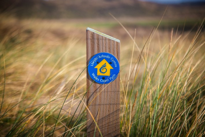
The Greenground Map of the British Isles and Ireland brings together 101 national trails and long-distance walks across four main regions—from easy two-day hikes in nature to months-long wilderness adventures. By highlighting green areas, the map points the way for walkers and hikers who want to connect with the Isles’ wild side. With such a diversity of hikes, there’s something for everyone to discover, from casual walkers to seasoned adventurers. As the paths connect and intertwine, you can even ‘hop on a different line’ or combine several trails. Happy exploring!

Explore the Map Online
Click on the map below to open a high-resolution image in the open-source viewing app Zoomhub. Zoom in and out freely, toggle full-screen mode for a closer look, and use the home button to return to the main view.

Download the Map to Your Device
Click the button below to download a generously sized map image to your device, suitable for good-quality printing up to A3. You’re welcome to keep the file indefinitely and print it for personal use. For any public use (e.g. sharing it in blog posts), please get in touch via helen.ilus@outlook.com.
Support the Map
I hope you’re enjoying this open resource! If you’d like to contribute, click below to make a donation—every contribution is greatly appreciated and helps keep this project going. Thank you for your support! 💚
PayPal is not for you? Try Stripe
Buy the Map
Custom printed high-quality A1 wall maps are also available at Stanfords Travel 🗺️
Do you like this map? Check out the other Greenground Maps
Resources & data
This schematic map weaves together a selection of open source and publicly available data sources. Explore them further below.
Maps
Waymarked Trails – Hiking / Open Street Map https://hiking.waymarkedtrails.org/
Google Maps https://www.google.com/maps
General
Protected areas of the UK Wikipedia
National Parks & Areas
All sites are open and accessible to visitors
UK https://www.nationalparks.uk/parks/
Ireland https://www.nationalparks.ie
England’s Area of Outstanding Natural Beauty (AONB) / National Landscape Wikipedia
Scotland’s National Scenic Areas Wikipedia
Nature Reserves
The map includes some sites that are generally open to visitors:
National Nature Reserves – England Wikipedia
National Nature Reserves – Wales Wikipedia
National Nature Reserves – Scotland Wikipedia
Nature Reserves – Ireland Wikipedia
Trails
UK National Trails https://www.nationaltrail.co.uk
Long-distance footpaths in UK Wikipedia
Scotland’s Great Trails https://www.scotlandsgreattrails.com
Ireland’s National Waymarked Trails https://www.sportireland.ie/outdoors/find-your-trails
Geo-information
The base of this map is built with Q-GIS / Open Street Map queries (e.g National Park, Protected Area boundaries) and various additional geo information sources
Counties and Unitary Authorities (December 2024) Boundaries UK BGC
Electoral Divisions – National Statutory Boundaries – 2019
National Scenic Areas – Scotland
National Parks – Scotland
AONB – England
National Nature Reserves – England
National Heritage Area – Ireland
UK National Trails / GPX
Ireland National Waymarked Trails / GPX
Waymarked Trails – Hiking (Scotland’s Great Trails and additional trails / GPX)
Want to give feedback or suggest parks?
If you spot an error, want to improve a connection or include more green spaces, please leave a comment.
