Explore the map online
For online access, click on the map below to open the high-resolution image in open-source viewing app Zoomhub. Zoom in and out freely and toggle full page for a closer view. The home button takes you back to the main view. Happy exploring!
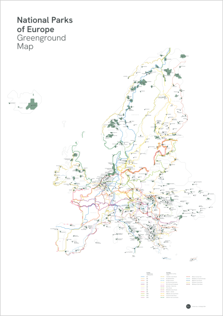
Download the map to your own device
For digital file, press the button below to download the full-scale map into your own device. You’re welcome to print it out and keep the file for your personal use indefinitely. For all public uses (eg sharing it on blog posts) please get in touch via helen.ilus@outlook.com.
Contribute
I hope you are enjoying this open resource. If you haven’t yet contributed, but would like to do so now, please click here to make a donation. All contributions are greatly appreciated!
Resources & more information
QGIS – OpenStreetMap, National Park Layer 2024
Google Maps 2024
National Geographic Complete National Parks of Europe
https://nationalparksofeurope.com/europes-parks
https://www.era-ewv-ferp.org/e-paths & https://hiking.waymarkedtrails.org
https://eurovelo.com
ⓘ National parks under threat
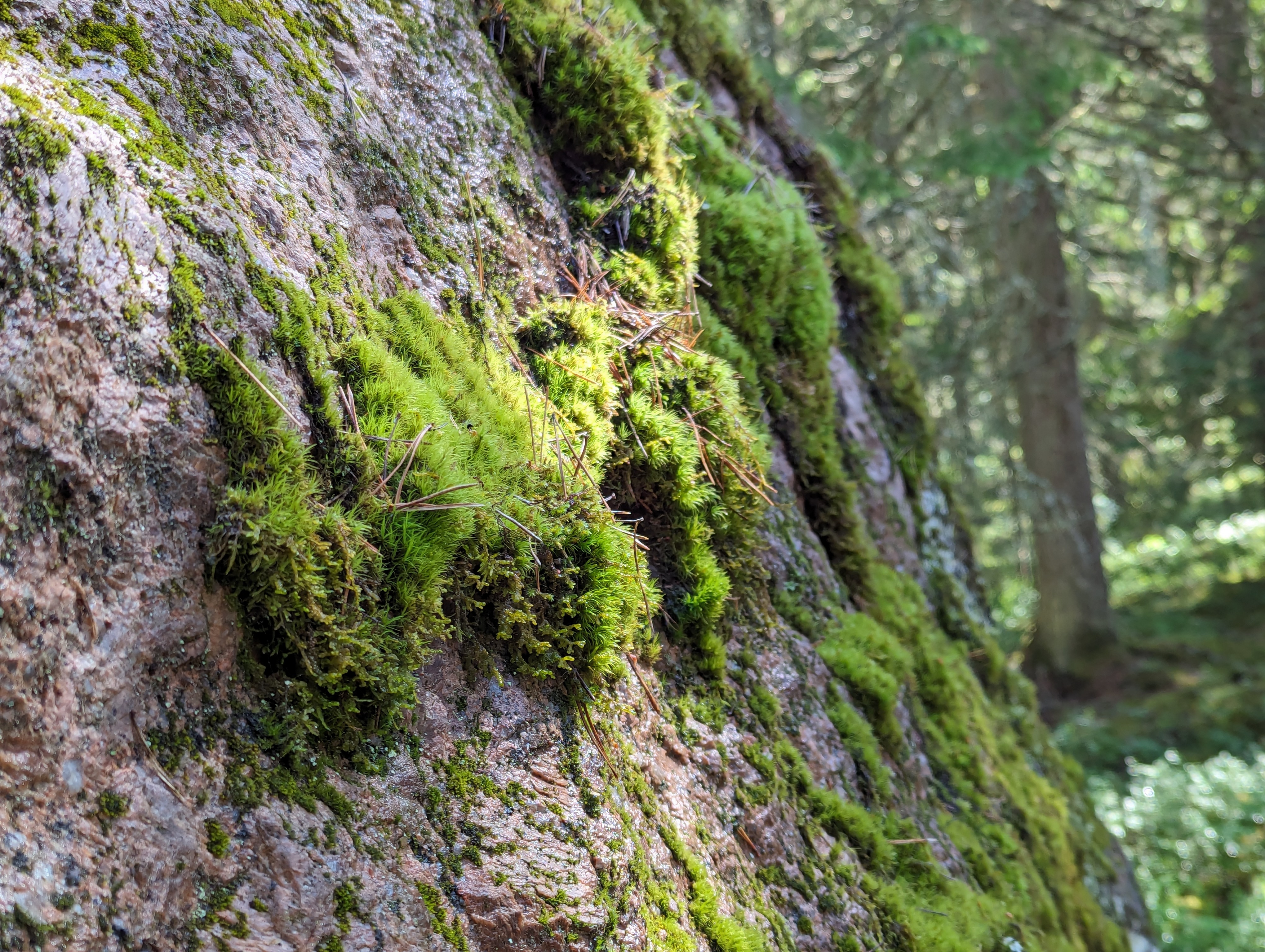
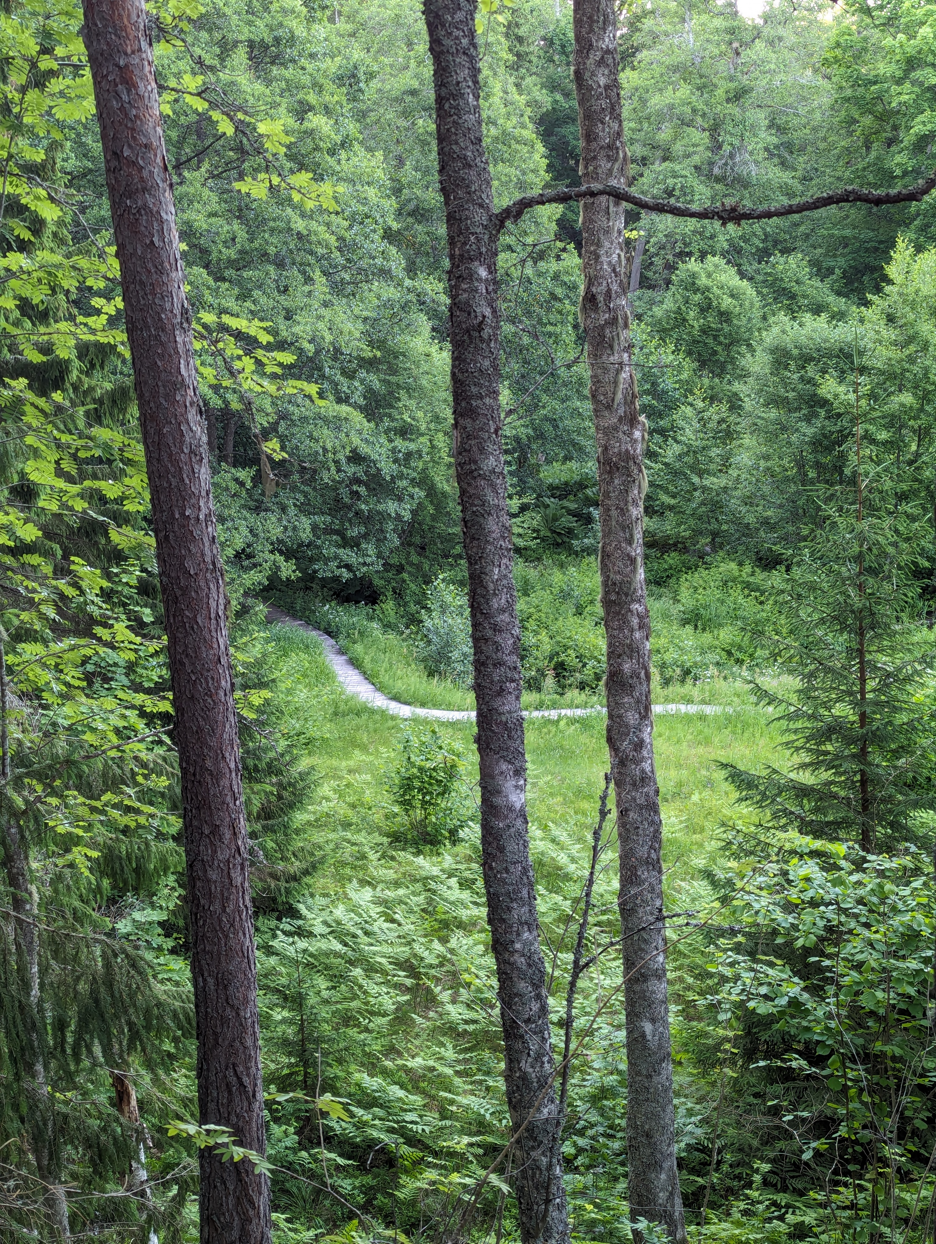
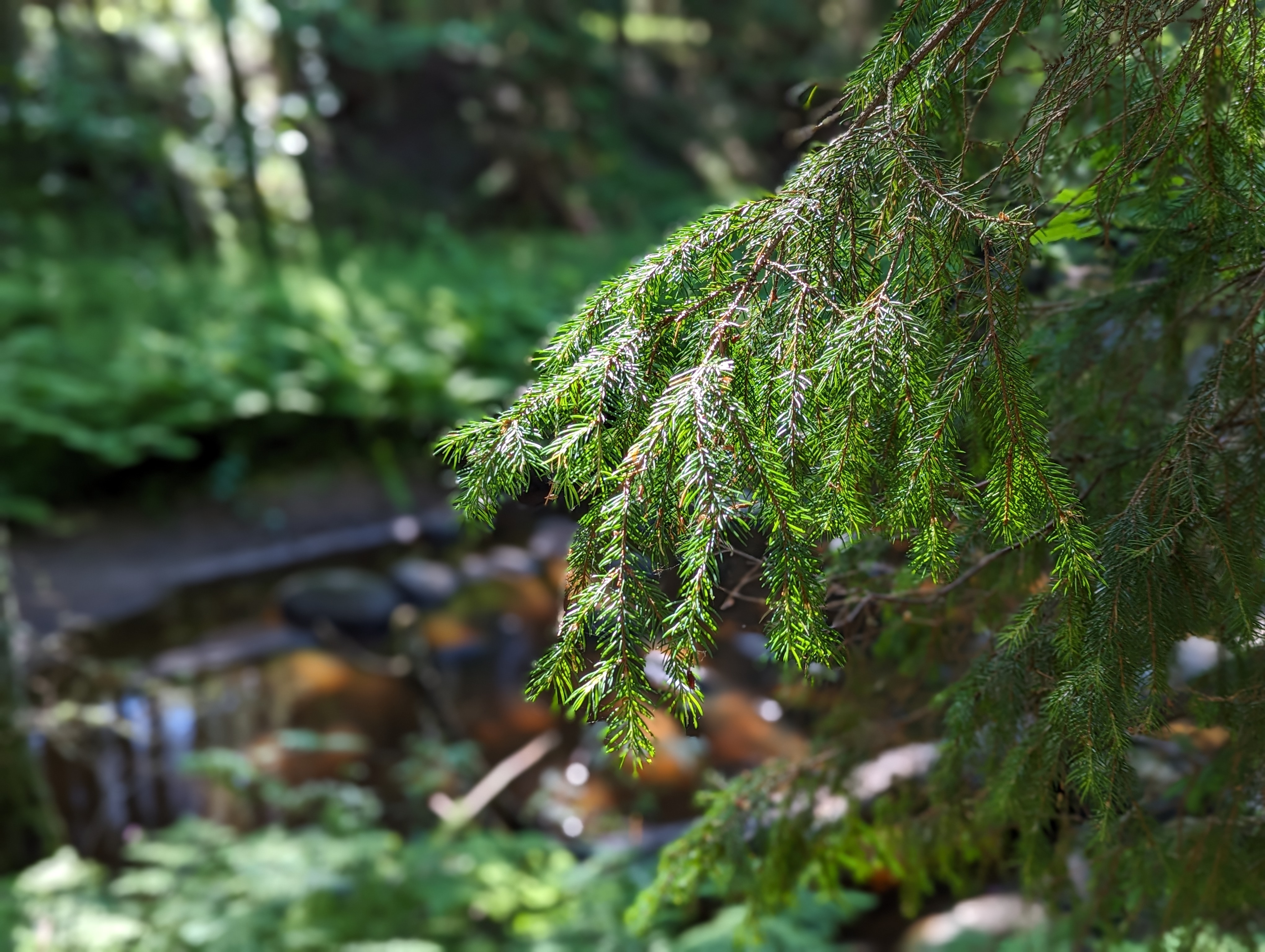
Although this map is a celebration of National Parks, the truth is, that many national parks also face threats by human activity – deforestation, development, pollution, wildfires and tourism impact the small bits of green Europe currently under protection. It is visible on the map, that the National Parks are fragmented and on average may include only 1-5% of the country’s land area. Source
The designation of National Parks varies between countries, hence I’ve used the National Geographic ‘Complete National Parks of Europe’ as a reference. I also decided not to include overseas territories and some countries on the border of Europe to keep the map compact. Of course, I’ve excluded the countries currently threatening the area’s people and ecology.