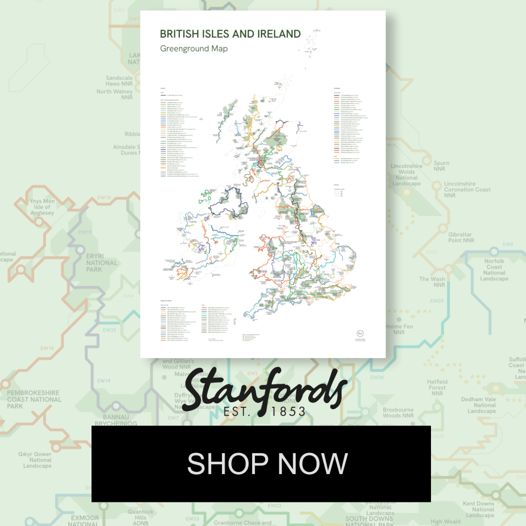
The extensive Greenground Map brings together national parks, nature sites, and long-distance trails across England & Wales, Scotland, and Ireland.
‘Simply beautiful.
Perfect inspiration for adventure’
Jack Cornish, THE RAMBLERS
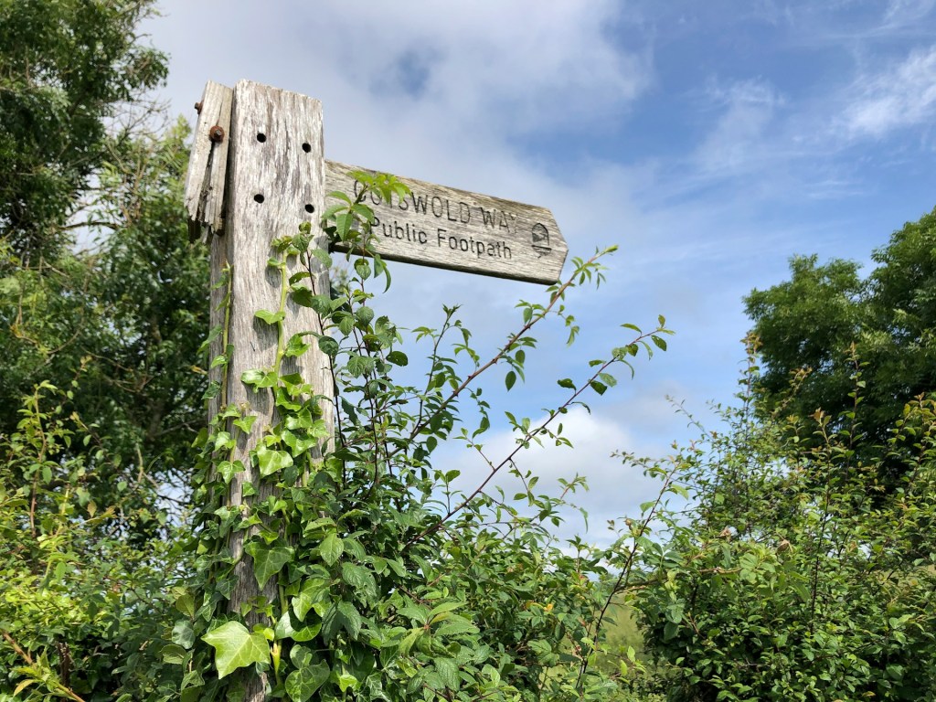
Did you know that the Pennine Way threads through three national parks? Or that the circular Ulster Way ties together eight Areas of Outstanding Natural Beauty? Or that you can walk over 200 miles of unmarked wilderness across Cape Wrath?
This extensive view of the British Isles and Ireland helps you get an overview of the region’s national parks and natural landscapes, connecting them to the main national trails and long-distance paths. Inspired by tube maps, the schematic design invites you to see the area through its natural features—highlighting walking paths instead of roads, and nature sites instead of settlements.
Meant for inspiration and planning rather than on-the-go navigation, this map brings together information from many sources to create a green network for everyone to explore.
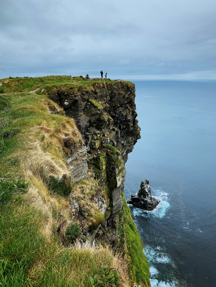
Whether it’s a walk along the coastal path of Wales, a climb over the rugged peaks of Scotland, a stroll through the forests of England, or a hike across the scenic hills of Ireland, you’ll find the next green adventure on the map!
Make a one-time contribution
This downloadable map is open to everyone. If you can, please consider making a one-time contribution of £5–£25. Every contribution is greatly appreciated and helps keep this project going.
PayPal is not for you? Try Stripe
Custom-printed A1 posters available at Stanfords map store! 🗺️
What reviewers are saying about this map
“A simple and beautiful (and simply beautiful) map showing the wonderful wealth of trails and landscapes we have in Britain and Ireland. Just perfect inspiration for adventure”
– JACK CORNISH, Director of England at The Ramblers
