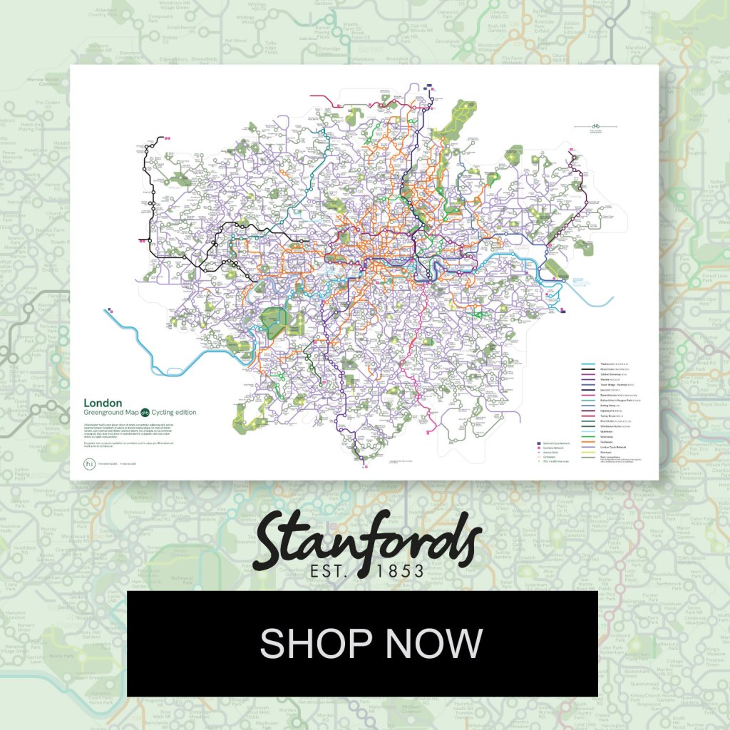
The first Greenground map connecting 1000+ parks & open spaces with London-wide cycling network
Discover London Parks on Two Wheels
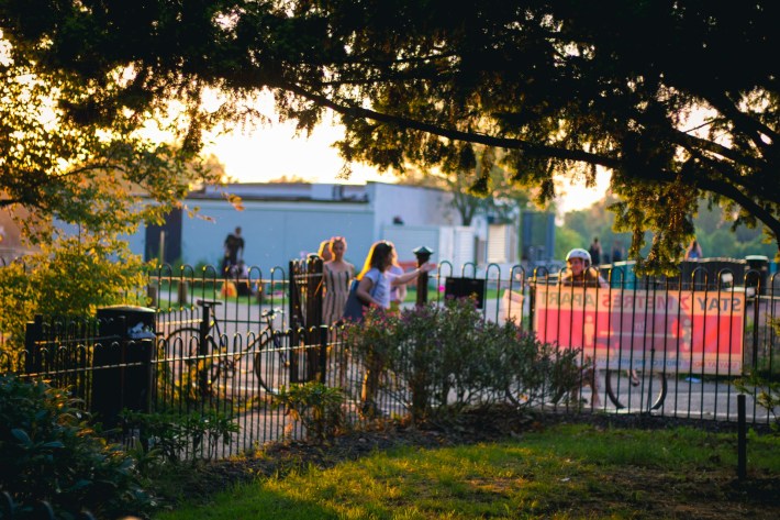
The London Greenground Map – Cycling Edition is the first schematic city-wide map connecting the National Cycle Network, Cycleways, and the extended cycle network to green spaces and waterways. This map aims to make both commuting and leisure cycling greener and more enjoyable while encouraging exploration on two wheels for cyclists of all abilities. Whether you prefer a mostly traffic-free river path, a well-marked cycleway, or a more challenging route, this map will help you discover over a thousand green spaces across the city.
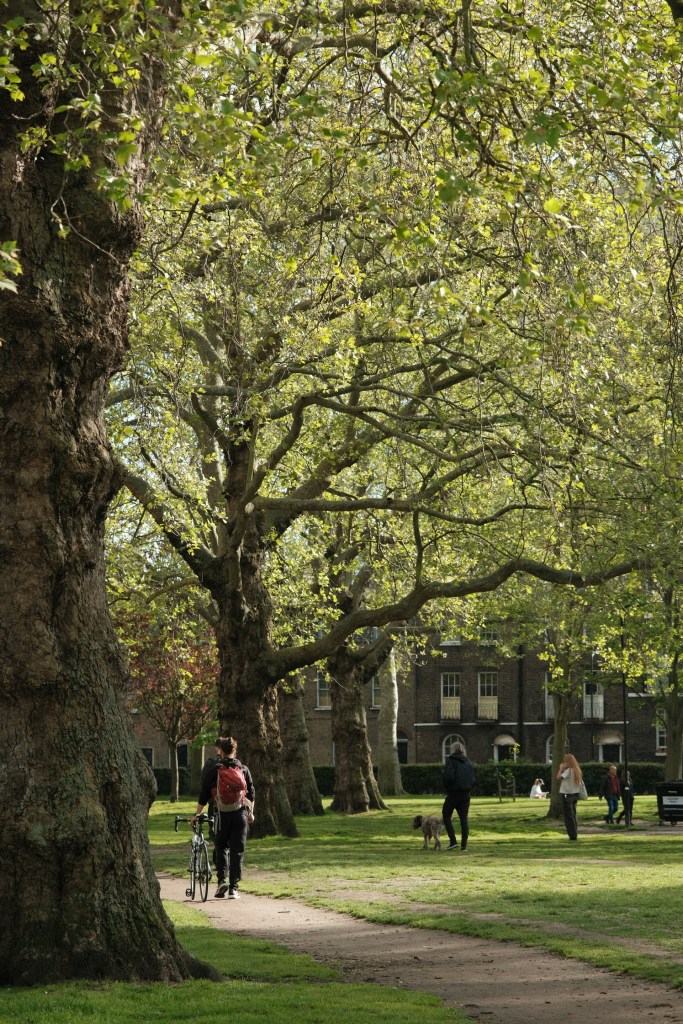
Cycling is becoming a mainstream form of transport in cities worldwide, and in London, bicycle journeys have increased by 300% since the 1990s. Greater London now boasts hundreds of kilometres of newly designated Cycleways, alongside the earlier Cycle Network that extends across all boroughs. With international and national cycle routes, greenways, and park trails, the options for exploring the city sustainably continue to grow.
Either you are a seasoned cyclist or just getting into cycling, I hope this map will encourage you to explore further. Get on your bike, explore London’s green spaces, and experience the city in a whole new way! 🚴♀️💚
Make a one-time contribution
This downloadable map is open to everyone. If you can, please consider making a one-time contribution of £5–£25. Every contribution is greatly appreciated and helps keep this project going.
PayPal is not for you? Try Stripe
Custom-printed posters with now available at Stanfords map store! 🌍
*Please note that this poster is a simplified version of the map to ensure better legibility*
“Named the London Greenground, it is a playful nod to the iconic London Underground map – and is just as impressive.”
– MY LONDON
“New free London Underground map helps cyclists to discover the city’s green spaces.”
– POSITIVE NEWS
“The ground-breaking new free tube map that helps cyclists discover London’s green spaces.”
– TIME OUT LONDON
“A map offering boundless ideas for cycling routes around the capital.”
– LONDONIST
