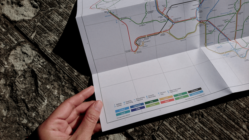
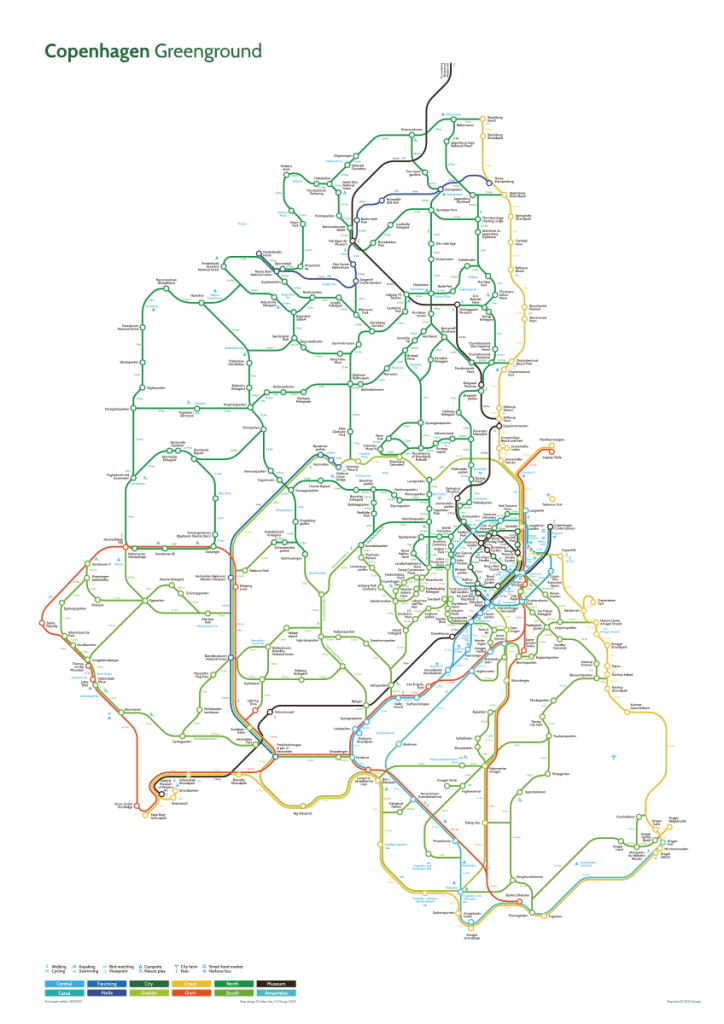
Copenhagen is one of my favourite cities to walk and I’ve been looking forward making this map to inspire others to visit this cool, green and sustainably thinking European city. The first Copenhagen Greenground Map selects 360 parks and open spaces, linking them together with 12 creative green and blue lines for memorable day hikes and bike trips in and around the city. The map also features some camping sites and plenty of activities, inspiring you to explore outside city boundaries and discover the open spaces in Greater Copenhagen suburbia.
As usual the Greenground Map does not map the transport network, but it shows where to go! The map connects the parks and interest points to give you the oversight of the city based of its landscape and natural connections, so the Copenhagen becomes an intertwined network of canals, rivers, green paths, nature reserves and coastline. It will change the way you’ll perceive the city and helps finding interest points outside the centre, whether these are forests, hill-tops, beaches or even giant wooden trolls!
With 385 kilometres (239 miles) dedicated bike lanes in the city and even bike bridges crossing the harbour it’s easy to get around on the bike. This is remarkable considering London has about the same length of bike lanes (data from 2020), when being nearly 9 times bigger in size. It gets even better as you can take a bike on metro or S-Train (outside rush hours) and even catch the harbour bus for the price of public transport. All these perks make Copenhagen one of the most bike friendly cities in the world.
If you have time in your hands Copenhagen is also a great city to explore on foot and travelling on the public transport network is a great way to get around. Travelling in Copenhagen area is relatively cheap considering the 3 zone ticket costs about 5€ . The airport for example is in zone 3 and the Greenground Map shouldn’t cover area past zone 5. The tickets are even cheaper with local travel card (you have to pay to get one). This option may be worth to explore if you’re planning to stay longer.
Copenhageners have around 42 m2 of public green space per person (this may have changed since this report was published), whereas in Paris this number is less than 10 m2! In any case Copenhagen residents have plenty of opportunities to get close to nature as you’re never further than 300 m from a park, waterway or coastline. With selection of free designated camping sites in Greater Copenhagen as well you can spend a night or two outdoors, if you are venturing out for a longer hike or biking trip.
For art and design lovers the Greenground Map also has a dedicated museum line as many are surrounded by greenery or are located near the waterways. Either you’re into contemporary art or more traditional folk art, you’ll find something to match your interest or just have a nice day out in cultural or historic surroundings. If you’re planning a day out with kids, they would love exploring a huge nature playground or play on a beach near an old military fort you can find from the map.
Crowing seems to be in the nature of the Copenhageners and you can find many growing sites in the city such as this remarkable neighbourhood of round allotments. But now the planting seems to have moved on rooftops, where creative growers have started new era of urban farms with accompanying restaurants to hang out with friends in the evenings. You can also find organic food in Copenhagen street markets, best places to eat & drink and people spot, if you need some fuel up for your long walks.
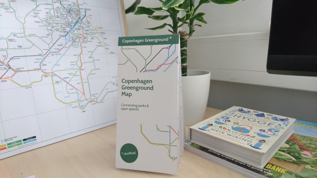
Copenhagen Greenground Map is now available in our shop!
Greenground Maps are based on Google Maps directions.
Additional resources:
https://www.visitdenmark.com
https://www.visitcopenhagen.com
http://cyclingincopenhagen.com
https://thomasdambo.com/works/forgotten-giants/
